Lynn Lake Hike in North Vancouver
Lynn Lake Hike in North Vancouver
Lynn Lake located in the Lynn Headwaters Regional Park in North Vancouver is a 22 km round-trip hike that follows Lynn Creek all the way to its origin point. Deep within the north shore mountains, Lynn Lake is challenging due to its length and takes roughly 8 hours too complete. This trail is busy up to Norvan Creek, although once you cross over the suspension bridge, it is much quieter and offers complete isolation from the city. At about 30 minutes from downtown Vancouver, Lynn Headwaters is a very popular location for hiking, picnicking or swimming, and parking is limited within the park. Therefor, you may have to park up to 2 km away from the trailhead which will add distance to your hike.
Distance (Round-Trip): 22 km
Difficulty: Difficult
Season: June to October
Elevation: 800 m (2,625 ft) Gain: 707 m
Scenery: ★★★☆☆
 Camping: No
From Vancouver: 30 minutes
Public Transit: Yes (click here to plan route)
Dog Friendly: Yes (but long and difficult)(on leash in section)
The trailhead to Lynn Lake is located within Lynn Headwaters Regional Park which is situated at the very top of Lynn Valley Road. Follow the trail which crosses the bridge over creek. There will be a map and information board where we highly recommend you fill up a hikers registration and inform yourself about the park and the hike you’re about to do. Fill out a form, rip off the end of it and drop in the box (just in case).
Continue North (left) past a gate on a flat, wide gravel path. This will be km 0 according to the km markings along the way. The path remains like this for almost 2 km until narrowing down. Ignore all the side trails up to this point. Follow the trail as it flows along Lynn creek open till a decently sized clearing covered in rock debris and with a barrel in the center. This is known as Third Debris, 3.8 km into the hike.
Head right to the top of the clearing and then continue north along the trail. It will begin to gradually gain elevation and quickly flatten out. The well marked trail crosses numerous small bridges and creek beds. Follow the obvious trail until reaching Norvan Creek where you will see a suspension bridge. Ignore the trail on the right side prior to arriving to the creek, this leads to Coliseum Mountain. If you wish to visit Norvan Falls, head right up Norvan Creek and return to the suspension bridge when finished, but keep in mind this will add 500m to your already lengthy hike.
Cross the Norvan Creek Suspension Bridge into the Lynn Headwaters backcountry. The trail becomes less obvious from this point forward as it is much less traveled. Follow the trail markings for 1 km to a fork with a trail map and continue straight.
Lynn Lake is now 3.8 km away, but do not be fooled by this short distance as the trail becomes steep and technical. Keep a good eye for the trail markers and follow up the steep terrain over roots and fallen trees. This section becomes very muddy and slippery in the rain. Climb up this section, then the trail will begin to flatten out and soon after you will begin hiking up Lynn Creek itself.
From here, the many creek crossings will begin and some route-finding will be required. The rest of the way to Lynn Lake can only be completed when the water level is low, that being during the summer months. The trail can be hard to follow and will be marked with orange ribbons. The ribbons are sometimes far apart, so be sure you are never too far from the last known trail markers and travelling up Lynn Creek. Be careful as the rock will be very slippery if wet!
You will manoeuvre your way up the creek, weaving from one side to the other climbing over deadfall and large boulders. At several points the trail will lead you back into the trees for short stretches and then back onto the creek-bed. Just take your time on this section and follow the orange ribbons being attentive to when the trail dips back into the trees.
Eventually the trail will move onto larger slabs of rock and open up. You will see a small creek leading to a cool little hidden waterfall on your right. You must get on the other side of this creek and climb up the rock along it. Take caution as this section is the most dangerous spot of the entire hike as the rock can be very slippery.
The trail continues sharply upwards into the woods for another kilometre or so before it finally flattened out and weaves its way towards Lynn Lake. You will arrive to the lake, then follow the trail along its west side and come to an open area.
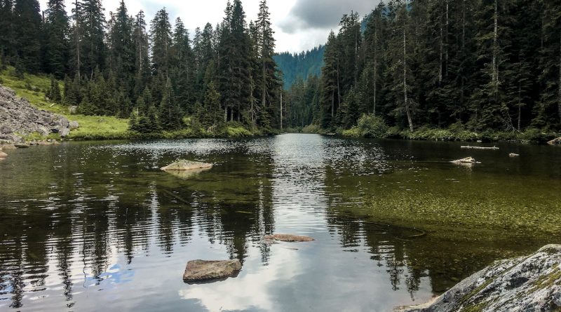
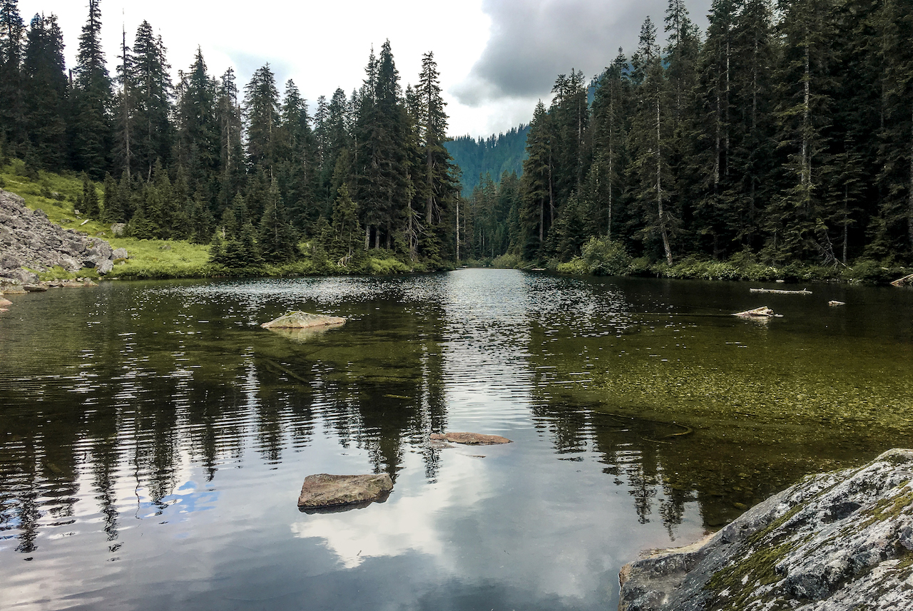
The Lake is relatively small and not that much to look at but you must reward yourself for reaching this challenging destination. Enjoy a well deserved dip in the lake then retrace your steps back to the parking lot. Don’t forget to drop the slip of paper from your hiker registration into the box at the start of the hike.
Lynn Headwaters Trailhead to Lynn Lake
ESTIMATED DRIVING TIME FROM VANCOUVER: 30 MINUTES
The trailhead to Lynn Lake via Hanes Valley begins from Lynn Headwaters Regional Park. To reach Lynn Headwaters from outside of North Vancouver, take the fourth exit after Second Narrows bridge (Exit #21) onto Mountain Highway. Head north towards Lynn Valley for 2.4 km and take a right onto Lynn Valley Road. If you are coming from Lions Gate Bridge, follow the signs to the Trans-Canada Hwy/BC-1 heading East and continue until the exit 19 for Lynn Valley Road.
Once on Lynn Valley Road continue North-East all the way to the end. You will reach a 3 way stop next to the End of the Line General Store, continue straight, soon after you will notice an open yellow gate and clear sign for Lynn Headwater Park, follow through the gate and make sure to notice the park hours (which varies by season) as the gate gets locked from Dusk to Dawn daily. There is a parking lot a the far end of the road as well as 2 overflow parking lots before hand and an abundance of parking along side the road where permitted.
You will want to arrive early as parking gets full relatively fast. Make sure to exit the park prior to the closing hours, otherwise the authorities will be notified and a full search party will be initiated.
TRANSIT ACCESS TO LYNN LAKE TRAILHEAD
From downtown Vancouver, take the Seabus across to North Vancouver. At the Lonsdale Quay bus loop, take bus #238 to Lynn Valley. Stay on the bus until the last stop at the end of Lynn Valley Road. Get off the bus and walk the remaining 1.6 km northbound to Lynn Headwaters. This will take you about 20 minutes.
Once you're off the bus, you continue straight at the stop and you will get to a fork in the road, take a right down the hill. At the bottom of the hill continue straight and do not cross the bridge. Follow that road for a bit and you will see a staircase on the right with a sign directing to Lynn Headwaters, head down the stairs which will lead you on the Varley trail to the parking lot at the very end of Lynn valley Road. This is where you would park if you had a car. Follow the trail past the parking lot across the bridge and over the river. Go to the map board and grab a map! Once you have a map go left (north) towards Norvan Fall and then Lynn Lake.
The second option you can do is, Once you're off the bus and you've gotten to the bottom of that hill, go right and take the small bridge over the river. Across the bridge ascend the uphill gravel path and remain left until you reach the start of Lynn Headwaters and continue accordingly from there.
 DOG FRIENDLY IN LYNN HEADWATERS REGIONAL PARK: YES
Some trails are designated as leash-optional, such as Lower Lynn Loop, Cedars Mill, the portion of Headwaters Trail north of the Third Debris Chute and the connector trail between Lynn Headwaters Regional Park and the Lower Seymour Conservation Reserve. Dogs must still be under your control. All other trails in the park are designated as leash-required. Check the signs for details or click on the link below for a map.
• Lynn Headwaters Regional Park leash designations
 SWIMMING IN LYNN LAKE: YES
Hikers may swim in Lynn Lake although there are no lifeguards on duty. Swim at your own risk.
 DRINKING WATER IN LYNN HEADWATERS REGIONAL PARK: YES
(Drinking Fountain) There is fresh drinking water available shortly after the parking lot. The tap is connected to a wooden post next to the trail. If you've crossed the bridge, you've gone too far.
(Waterhole) There is also a popular waterhole situated roughly halfway down the road between the entry gate and main parking lot on the west side of the paved road where people fill up their water jugs or bottles.
 TOILETS IN LYNN HEADWATERS REGIONAL PARK: YES
There are pit toilets located just past the parking lot to the right after the BC Mills House.
 NO SMOKING IN LYNN HEADWATERS REGIONAL PARK: YES
Smoking is banned in all of Metro Vancouver's Regional Parks and offenders may be hit with a 75$ fine. Fires are also not allowed within the park.
 PARKING IN LYNN HEADWATERS REGIONAL PARK: YES
There is a parking lot at the end of the road as well as 2 overflow lots before that. Parking is allowed on the gravel area where permitted on the east side of the road. Parking at Lynn Headwaters Regional Park is very limited in the summer. Please carpool or use public transit to the park. Do not leave your vehicle inside the park overnight or after hours, it will initiate an emergency response.








Quiet hike into the backcountry. Nice small lake. Can be completed faster than mentioned if trail running.